
Which Way Does a DStv Dish Point in the Western Cape?
28 October 2026
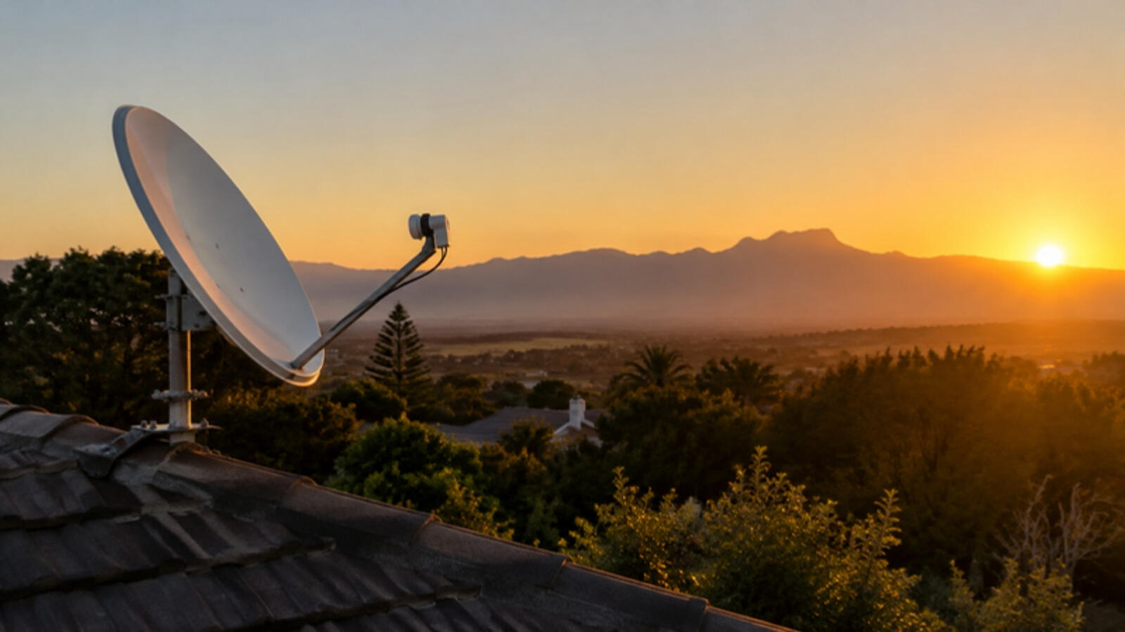
"Which way should my DStv dish face?" is one of the questions we hear most. For the Western Cape the answer is surprisingly specific: east-north-east, and low in the sky. Once you understand that, it becomes clear why two houses a few streets apart can have completely different reception.
This is not a guide to pointing a dish yourself (more on why below). It is an explanation of what a dish is aiming at, and why the view in that direction matters so much.
The satellite never moves, from where we stand
DStv's South African channels come from Intelsat 20, a satellite parked above the equator at 68.5° east (LyngSat lists DStv South Africa's transponders there). It stays fixed in our sky, so for any address there is exactly one direction, and one height above the horizon, where the dish has to look.
Where it sits for the Western Cape
We calculated these from the satellite's position and each town's location, then cross-checked them with a second method. They are close approximations for the middle of each town, not exact figures for your roof.
| Town | Direction (true bearing) | Height above the horizon |
|---|---|---|
| Cape Town | about 65° | about 24° |
| Hout Bay | about 65° | about 24° |
| Durbanville | about 65° | about 24 to 25° |
| Somerset West | about 65° | about 24 to 25° |
| Hermanus | about 64° | about 25° |
| George | about 62° | about 27° |
| Johannesburg (for comparison) | about 63° | about 36° |
A true bearing is measured clockwise from true north: 90° is due east and 45° is north-east, so 65° is east-north-east, a little north of due east. Roughly, it is the direction the sun rises around midwinter (in Cape Town that is about 61°), but with the target about 24° up in the sky, which is a little over a quarter of the way from the horizon to straight overhead.
Why "low" matters so much
At 24° up, the dish sees the satellite through a shallow gap, and anything tall in that direction can close it. A simple rule of thumb: for every 10 metres between your dish and a tree or building to the east-north-east, anything more than about 4.5 metres higher than the dish gets in the way. At 20 metres away it takes about 9 metres. In Johannesburg, where the satellite is about 36° up, the same distance takes about 7 metres, so inland homes have an easier time.
A mountain is the same idea on a bigger scale. A ridge 2 kilometres away to the east-north-east needs to rise more than about 900 metres above your dish to block it. Suburbs tucked right under a mountain on that side can have little or no clear view, and the dish may need a different spot on the property.
That is why a tree can grow into a good signal over a few seasons, why a neighbour's new extension can take it away overnight, and why moving a dish a few metres along the roof can fix a house that "never got a signal".
Which side of your building matters
The dish needs a clear view toward the east-north-east, so the side of the roof or wall that faces that way is the one that counts. On the Atlantic Seaboard, from Sea Point to Camps Bay, the sea view faces west or north-west, which is the wrong way round, so the dish usually has to sit on the mountain side of the building. If you are buying or renting, it is worth checking what is to the east-north-east before you commit.
Why you should not set it from these numbers
- The angle on the mount is not the same number. Most home dishes are offset dishes, which sit at a different tilt from the satellite's height in the sky, so the scale on the mount will not match the angle above.
- A compass is not true north. In Cape Town a compass differs from true north by about 25°, so a phone compass will point the wrong way unless it is set to true north.
- The LNB tilt matters too. Getting the skew wrong costs signal quality.
- The beam is narrow. A very small movement loses the satellite. A signal meter finds the peak. Guessing finds a weak signal that fails in the first rain.
- The roof is dangerous. Please do not climb onto it to try.
What to do with this
- Before you plant a tree, build or extend, check the view to the east-north-east.
- If your signal got worse after a neighbour built or trees grew, direction and obstruction are the first things to suspect.
- If you are moving, check the view from the side of the building that faces east-north-east.
- After a storm, wind may have moved the dish. See why DStv drops when it rains and the signs your dish needs realignment.
If you suspect your dish is not looking the right way, or something has grown into its path, we do dish alignment in Cape Town and Hermanus, and signal fixing across the Western Cape. We use a signal meter, so we are aiming at the actual peak, not a guess. Contact us or WhatsApp for a free quote.
How we worked this out: the figures use the standard geometry for a geostationary satellite at 68.5° east, calculated for the centre of each town, and checked against a second, independent calculation.